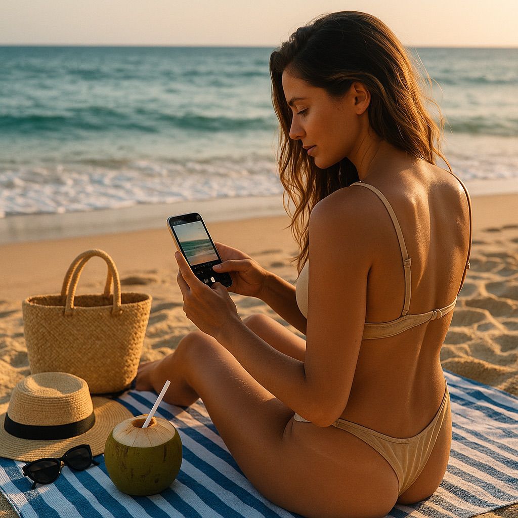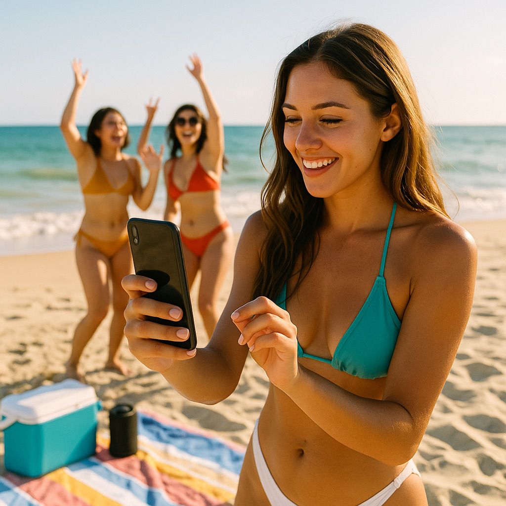
The beach is more than just a place—it’s an aesthetic, a vibe, a mood board of its own. The sound of waves, the sparkle of sunlight, the rhythm of footsteps in the sand—all of it translates beautifully into short-form video content, making the shore one of the most powerful backdrops for creating Reels and TikToks that people can’t scroll past. Viral beach videos aren’t just about pointing your camera at the horizon; they’re about capturing moments that feel alive, that embody summer freedom, that evoke envy and nostalgia at the same time. A truly viral beach video is one that makes someone sitting on their couch feel the warmth of the sun, the salt on their skin, and the endless possibility of a day by the ocean. But getting from raw footage to viral-ready magic requires more than luck—it’s about strategy, style, and authenticity woven together like seashells in a necklace.
The secret sauce of any viral beach Reel or TikTok is relatability paired with escapism. People want to be transported to your world but also feel like they could live it themselves. A slow pan across glittering waves, feet running into the surf, or the timeless shot of tossing sunglasses onto a beach towel feels simple, but in the right context, it speaks volumes. Pair those visuals with trending sounds, whether it’s the season’s hottest pop anthem or a nostalgic throwback, and suddenly, the video taps into cultural currency. A wave crashing in sync with a beat drop or a camera flip timed perfectly with a chorus gives the audience that dopamine hit that makes them watch again—and share.
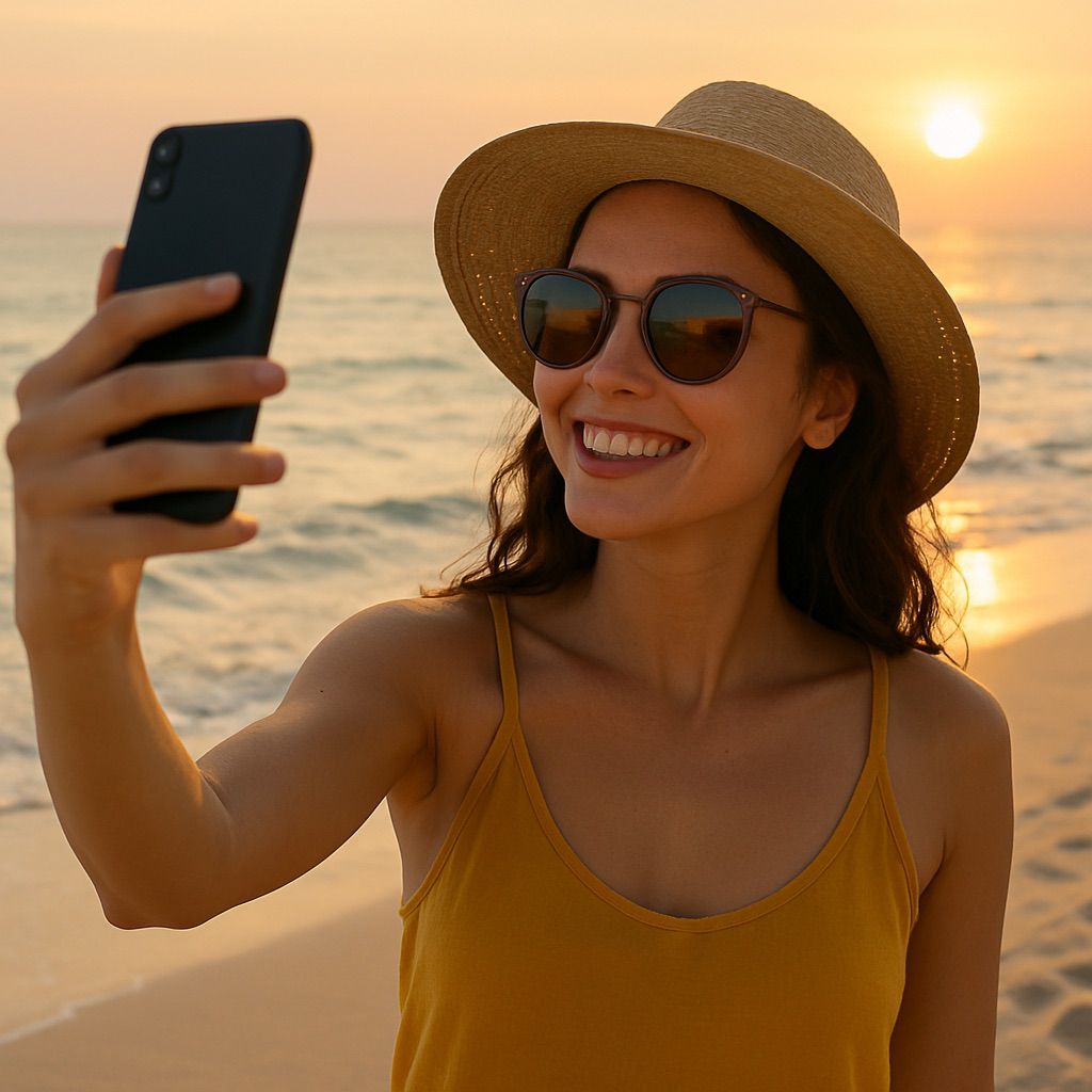
Timing is crucial. The beach offers natural phases of content that lend themselves to storytelling arcs. Sunrise videos drip with aesthetic appeal: pastel skies, coffee mugs steaming against the horizon, footprints marking the first steps of the day. Midday clips shine with energy—group shots of volleyball games, drone flyovers of packed shores, bikini transitions, and joyful chaos. Sunset is the crown jewel, the golden light hour when silhouettes, slow-motion spins, and dramatic fades transform into visual poetry. Nighttime by the bonfire closes the loop, with fire sparks, glowing faces, and music blending with the tide. Building Reels and TikToks that reflect this arc of a beach day makes them binge-worthy, pulling viewers into the rhythm of your experience.
Trends, of course, fuel virality. Beach transitions have become iconic: one snap of the fingers and a person shifts from streetwear to swimwear, one towel drop transforms into a runway strut in the sand, one splash of water shifts the camera to a totally new location. These playful, clever edits thrive because they’re rooted in creativity but require nothing more than a phone, a good angle, and confidence. Humor thrives too—people love a good laugh, whether it’s a failed attempt at skimboarding, the struggle of eating sandy snacks, or a parody of influencer culture at the beach. The trick with humor is pacing; keep it short, sharp, and authentic, letting the comedy feel natural rather than forced.
Sound design elevates even the simplest shots. Natural sounds—the whoosh of waves, gulls calling overhead, or the crunch of sand underfoot—layered under music give videos dimension. A clip of diving underwater becomes far more engaging when paired with muffled ocean sounds fading into a beat. ASMR-style clips of cracking open a cold drink or slicing juicy watermelon against a beach backdrop rack up views because they tickle both the senses and the imagination. Don’t underestimate how powerful a single sound effect can be when it’s timed right with movement; a subtle “whoosh” on a camera pan can make it feel cinematic.
Cohesion across your videos builds momentum. Viral isn’t always about one lucky post; it’s about creating a recognizable style that makes people stop scrolling because they know it’s yours. Maybe it’s your editing rhythm, your use of pastel filters, or your voiceover style that always drops a funny observation. Consistency in vibe turns casual viewers into followers, and followers into fans who help push your videos further. Still, don’t be afraid to experiment within your aesthetic—one day it’s a moody, dreamy Reel with gentle music, the next it’s a chaotic TikTok of friends jumping into the waves. The thread connecting them is the beach, but the variety keeps people hooked.
Engagement strategies matter too. Asking questions in captions (“What’s your dream beach day?”), using trending hashtags wisely, and hopping on challenges with your own twist all boost discoverability. Collaborating with friends or even strangers on the sand makes content feel social, and tagging locations helps locals engage. The beauty of beach content is that it feels universal; no matter where someone lives, the ocean is an archetype of escape, freedom, and fun. Tapping into that universal appeal is what makes beach Reels and TikToks spread fast.
Yet the human side is what truly makes content stick. A perfectly edited, cinematic video is beautiful, but the clip of your friend laughing uncontrollably as the tide knocks them over often does better because it feels real. Audiences don’t just want polished—they want personality. They want to feel like they’re on the beach with you, sunscreen in their eyes and sand in their shoes. Balancing beauty and authenticity is the key to virality; too staged feels distant, too messy feels unintentional, but together, they create the sweet spot that keeps people watching.
In the end, curating beach Reels and TikToks that go viral isn’t about chasing perfection. It’s about capturing the spirit of the shore, the way it makes us all feel lighter, freer, more connected. It’s about letting the ocean set the beat and finding ways to weave your story into its rhythm. When your video makes someone pause, smile, and think, “I wish I were there,” you’ve already succeeded. And who knows? That little clip of sunshine, laughter, and sea spray might just become the moment that takes your account from ordinary to extraordinary.